
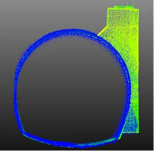
Geomatics, Integrated Sensors and 3D Imaging
Published on: 03/06/2026
Technical publication exploring integrated sensor surveys, LiDAR, sonar, CCTV, and geomatics applications for underground infrastructure inspection and 3D mapping.
GeomaticsLiDARSONARIntegrated Sensor SurveysUnderground InfrastructurePipeline InspectionCCTV Inspection3D ImagingPoint Cloud MappingTrenchless Technology